EU Sea Level Response Fingerprint
This use case leverages Earth Observation data, primarily ESA radar altimetry operationalised within the EU Copernicus Climate Change Service, to accurately predict the impact of melting ice sheets on sea levels across the European Union. By developing a comprehensive understanding of ice sheet dynamics from current observations and future projections, we aim to determine the contribution of ice sheets to sea level rise. This data-driven approach will enable policymakers, scientists, and other stakeholders to make informed decisions to mitigate climate change impacts and plan effective adaptation strategies.
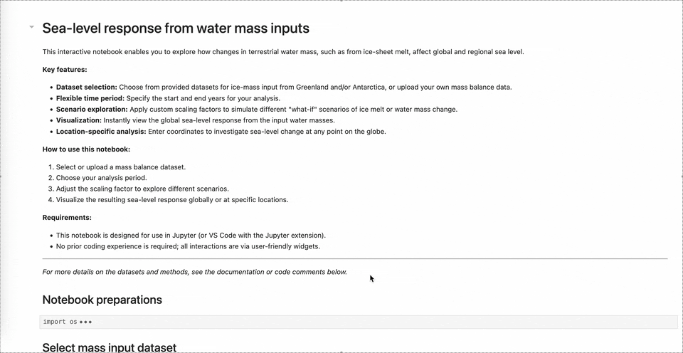
Interaction: The use case is implemented in a notebook to document the workflow for importing a mass change at a given location on Earth and predicting the resulting sea level change at a specified location.
EU Sea Level Response Fingerprint Jupyter Notebook Demonstrator in action
In addition, the use case is presented in the public dashboard, where it is divided into two components:
- Ice Sheet Mass Balance tab: This section allows users to estimate ice sheet mass balance by running an Earth Observation (EO)-driven model for mass change. The model accounts for variations in surface ice velocity, temperature, and elevation, and assesses how these factors influence the predicted mass balance.
- Sea Level tab: This section mirrors the notebook implementation, enabling users to predict sea level changes resulting from a given mass change scenario. It also allows users to explore scenarios derived from the Ice Shelves use case.
Ice Sheet Mass Balance and Sea Level tabs within the DTC-IS dashboard
- EU Policymakers: Responsible for developing policies on climate change mitigation and adaptation within the EU.
- Climate Scientists: Researchers working to understand the mechanisms behind ice sheet dynamics and their influence on sea level changes.
- Environmental NGOs: Advocate for sustainable climate policies and actions.
- Coastal Communities: Directly affected by rising sea levels, these communities need accurate data for planning adaptation measures.
Benefits:
- Informed Decision-Making: Stakeholders can access reliable data to develop effective strategies for climate change mitigation and adaptation.
- Risk Reduction: Coastal communities can better prepare for and adapt to rising sea levels, reducing the risk of damage to infrastructure and ecosystems.
- Scientific Advancement: The project will enable the scientific community to enhance its understanding of ice sheet dynamics and its role in sea level rise, fostering collaboration and further research.
- Public Awareness: Increased understanding of the factors driving sea level rise will help empower individuals and communities to take proactive steps in addressing climate change.
What ifs:
- What if ice-sheet warming accelerates ice flow? How would this affect the sea levels in Europe?
- What if surface elevation changes increase under future climate scenarios, what would be the resulting impact on the European sea level?
Additional Resources:
- Simonsen, S. B., Barletta, V. R., Colgan, W. T., & Sørensen, L. S. (2021). Greenland Ice Sheet mass balance (1992-2020) from calibrated radar altimetry. Geophysical Research Letters, 48, e2020GL091216. https://doi.org/10.1029/2020GL091216